Nisar mission successful; GSLV-F16 places Nasa Isro Earth observation satellite in sun synchronous polar orbit | India News

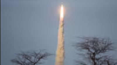
SRIHARIKOTA: The Nasa-Isro Synthetic Aperture Radar (Nisar) satellite, capable of mapping the entire globe in 12 days and spotting minute changes, was successfully launched by GSLV-F16 on Wednesday evening, marking a new milestone in global Earth observation and in the India-US space collaboration.The rocket placed the 2,393kg satellite in a 747km sun synchronous polar orbit — a first for a GSLV — around 19 minutes after it lifted off from the second launch pad at Satish Dhawan Space Centre in Sriharikota.The Nisar observatory, which has been under development for more than a decade, carries a first-of-its-kind dual-band — L and S bands — radar satellite with a capability for high-resolution, as small as a few centimetres, mapping above and below the Earth’s surface.This will help scientists track subtle changes in Earth’s ecosystems, including sea level rise, groundwater and natural hazards like earthquakes, floods, volcanoes and landslides, aiding early warnings, disaster response and infrastructure damage assessment.The Nisar mission’s primary objectives are to study land and ice deformation, land ecosystems and oceanic regions in areas of common interest to the US and Indian science communities.Wednesday’s mission was GSLV’s 18th flight and 12th flight with the indigenous cryogenic stage. It was also the 102nd launch from Sriharikota.According to Isro, the dual-band synthetic aperture radar employs polarimetric and interferometric techniques and an advanced, novel SweepSAR technique, which provides high-resolution and large-swath imagery. Nisar will image the global land and ice-covered surfaces, including islands, sea ice and selected oceans every 12 days.It will help measure biomass and its changes, track changes in the extent of active crops, understand changes in wetland extent, map Greenland and Antarctic ice sheets, dynamics of sea ice and mountain glaciers and characterise land surface deformation related to seismicity, volcanism, landslides and subsidence and uplift associated with changes in subsurface aquifers, hydrocarbon reservoirs and others.While Isro built the S-band radar system, data handling and high-speed downlink system, the spacecraft and the launch system, Nasa delivered the L-band radar system, high-speed downlink system, the solid-state recorder, GPS receiver and the 9m boom hoisting the 12m reflector. Isro will handle satellite commanding and operations while Nasa will provide the orbit manoeuvre plan and radar operations plan.Nisar mission will be aided with ground station support of both Isro and Nasa for downloading of the acquired images, which, after the necessary processing, will be disseminated to the user community.


